Duration: 13 days
Season: Mid July to September
Region: Manali, Lahoul, Spiti & Ladakh
Grade: Difficult
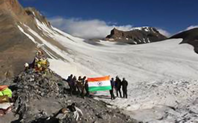
Maximum altitude: 5450 Mts.
Customization: Possible/not possible (for 00-00 days)
Situated at an altitude of 4600 mts. Tsomoriri is a huge mountain lake in Ladakh. Karzok village which is situated on the south west bank of the lake is the home of nomads ( Changpas ) and also the highest inhabited village ( 4650 mts. ) of the world. The first part of the trek is in Spiti valley. A couple of days for acclimatization and sightseeing of Spiti valley is recommendable before starting the trek. The trek is a great combination of amazing landscapes and culture. The view of highest peaks of Himachal and Ladakh makes you to feel like in heaven.
The Itinerary
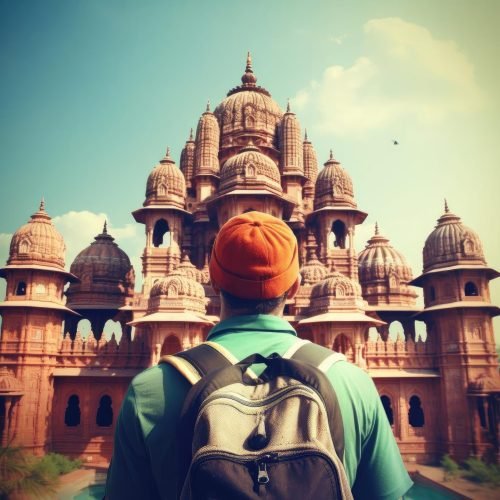
Day 01: Manali (2050 Mts.)
Forenoon: Arrive at Manali. Check in a Hotel.
Afternoon: Acclimatization and preparation for the trek.
Day 02: Manali - Kaza (3600 Mts.) Hrs.
Drive by Tata sumo through Atul Rohtang Tunnel and then enter the Lahaul valley. One can see the beautiful Chandra Bhaga ranges and the Bara Shigri Glacier in the Pir Panjal Ranges of the Himalayas. We again climb up to cross the Kunzum la at 4700 mtrs and enter the Spiti valley. The first village is Losar. After a long drive of 7 to 8 hours we arrive at Kaza, the sub division of Lahaul and Spiti.
Day 03: In Kaza
Acclimatization at Kaza
Day 04: Kaza – Kibber/Chicham (4205 Mts.) Hrs.
We drive to Kibber and on the way visit the Kye monastery. Kibber is the highest village in the world at 4205 mtrs. Setup the camp either at Kibber or Chicham.
Day 05: Kibber/Chicham - Thaltak (4560 Mts.) 6 Hrs.
This is the first day of the trek. We first descend through the gorge and arrive at Dumla, the last village on this trek route. At the distance of around 500 meters we can see the Parangla and the snow capped mountains all around. This had been the ancient trade route between Spiti and Tibet and Culture also flowed through this route. That is why Spiti is also called "Little Tibet".
Day 06: Thaltak - Base of Parangla (5000 Mts. Mts) 6 Hrs.
The Parachu valley leads all the way up to the Rupshu's high plains and further up to the famous salt lake of Tso Moriri. Today's walk is a steep descent through the Panlugui gorge. The majestic Panlugui summit stands towards the south of Parang la. One can occasionally catch glimpses of the Himalayan Wildlife such as the Bhral, marmot etc. Ibexes are also found . After one hour of descend and another three hours of accent you reach the base of Parangla.
Day 07: Base of Parang la over the Parang la (5600 Mts.) – Largyup (4930 Mts.) 6 Hrs.
Today we enjoy the Great Himalayan Panorama. We descend down the Glacier out of which the river Parachu originates and camp.
Day 08: Largyup - Umma (4580 Mts.) 5 Hrs.
This almost a level easy walk but have to cross a stream or two.
Day 09: Umma - Rachu Lamo (4470 Mts.) 5 Hrs.
Today we walk alongside the Parachu River, which flows all the way to the Tibet frontier near the Chumar Village and then again enters the Spiti valley and joins the Spiti river at Sumdo. We cross some stream along the way and are rewarded by a most beautiful Camping site.
Day 10: Rachu Lamo - Chhumik Sharde (4300 Mts.) 5 Hrs.
We walk along the river Parachu and then towards the end of the trek cross the river. Camping on the other side of the river gives a beautiful view of the surroundings.
Day 11: Chhumik Sharde - Tso Moriri (4450 Mts.) 5 Hrs.
In the morning we walk through the Parachu valley and then suddenly the valley opens up and the landscape turns green, we enter the Chang Thang valley, Tibet's 600 miles wide and 15000 feet high northern steppes, inhabited by the Changpas, the up country pastoral community. The Changpa's have retained their nomadic glory in spite of harsh weather and continuing hardship. They live at the higher regions of the Changthan at height above 4500 meters. Their means of livelihood depend upon their herds of Yak, sheep, goat and horses with which they migrate from one pastoral land to another. Within Changthan they can be spotted by their Ribose [Black yak hair tents]. Changpas are warm hearted. They prefer to sleep by the side of their flocks right in the open even in winters when the temperature is almost 40 degrees minus centigrade to guard their animals from preying animals. Overnight at Tsomoriri
Day 12: Tso-Moriri – Leh (Mts.) Hrs.
Drive 220 Kms. From Tsomoriri to Leh. Night stay in a hotel.
Day 13: Leh. The programme concludes after breakfast. Departure from Leh.