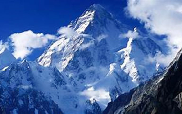
Mt.Kanchenjunga main deserves world's third highest peak. It rises to 8586 m. above the sea level. Mt. Kanchenjunga Main lies in the far eastern part of Nepal. Mr. George Christopher Band of UK scaled Mt.Kanchenjunga first time on May 25, 1955 via South West Face. The position of this mountain lies on:
Summit of Kanchenjunga
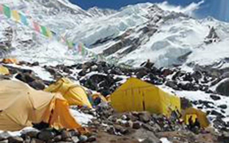
Kanchenjunga: Nepal opened the Kanchenjunga area to trekkers in 1988, though people have trekked in the area in connection with mountaineering expeditions since the turn of the century. Kanchenjunga is a long way from Kathmandu, and the nearest roads and airports are a long way from the mountain. You can trek either to the north or south Kanchenjunga base camp, but it takes luck, determination and a lot of time to visit both sides of the peak. The northern side is particularly remote; it takes almost two weeks of walking to get to the base camp at Pang Pema. Kanchenjunga is on the border of Nepal and the Indian state of Sikkim, so a circuit of the mountain is politically impossible. The next best alternative is to visit both the north and south sides of the mountain from the Nepal side; you need to be equipped for a high pass crossing and have a minimum of four weeks. If for any reason you cannot cross the pass, then it's a long way around.
The lowland portion of this region is culturally intriguing, but there are few good mountain views. The two treks that I have described here will probably need to be extended by a few days because of porter problems, weather, or the need for a rest day. The Kanchenjunga region is the home of the Limbus. Relatives of the Rais, Limbus dominate the region east of the Arun River and few live elsewhere. Limbu men wear a distinctive tall topi, a Nepalese cap that is much more colorful than that worn by other Nepalese. A noteworthy contribution of Limbu culture is the drink tongba. A wooden pot is filled with fermented millet seeds and boiling water added. You sip the dangerously potent mixture through a special bamboo straw, with tiny filters to keep the seeds out of the drink, as the hotelier merrily adds more hot water. It is often served in a large plastic mug, but ethnically correct hotels serve it in a special wooden tongba pot, which has brass rings, and a wooden cap with a hole for the straw. Tongba goes down easily, as you might do yourself when you arise after a lengthy tongba session. Watch for this specialty anywhere north of Dharan.
Latitude: 270 42' 09” Longitude: 880 09' 25" Best season to climb: April/May
Climbing Route: South West face
Caravan Route: Ktm-Taplejung-Mamankhe-Yamphudin-Cheram-BC
DAY-TO-DAY ITINERARY
Day 01: Arrival Kathmandu. Transfer to hotel Yak & Yeti on BB plan
Day 02: Sightseeing in Kathmandu/Expedition paper work/ reorganize the gears Day 03: Fly Kathmandu to Bhadrapur./drive to Ilam/Overnight there-
Day 04: Drive to Khamdani via Phidim by local jeep 1650m
Day 05: Trek Khamdani to-Khebang 1910m 6hrs walk T-house/Camping Day 06: Trek Khebang to Yamphudin 2080m
Day 07: Trek Yamphudin to Tortong 2995m 7hrs T-house/Camping Day 08: Trek Tortong to Tseram 3970m 7hrs T-house/camping Day 09: Trek Tseram to Ramche 4530m t-house/camping
Day 10: Rest day in Ramche – Exploration. Acclimatization hike to Tso Glacier Day 11: Trek Ramche to Glacier camp 5176m 7hrs walk
Day 12: Tso Glacier to Kanchecn Advance Base Camp 5400m
Day 13/19: 1st trip to move gear up to camp II back to BC (Day 01/18 Is staff itinerary) Day 20/44: Acclimatization- summit climb and ready to leave BC
Day 45/53: Walk back to Ghope Khola/Phidim/Bhadrapur then fly to Kathmandu by plane Day 54: Free day in Kathmandu
Day 55: Depart Kathmandu


